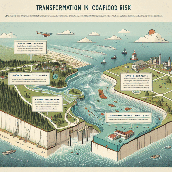
New Flood Maps Impact Coastal Flood Risk Assessment in Door County
Updated Flood Maps Transform Coastal Flood Risk Assessment
The Door County Pulse reports that recently updated flood maps are significantly altering the way coastal flooding risks are evaluated. These new maps incorporate advanced modeling techniques and the latest data, providing a more accurate representation of flood-prone areas.
The updated flood maps are crucial for communities in coastal regions, as they allow for better preparedness and response strategies to mitigate potential damage from flooding events. With climate change leading to rising sea levels and more frequent extreme weather events, having precise flood risk assessments is essential for local governments, homeowners, and businesses alike.
In addition to enhancing safety measures, these updated maps can influence zoning regulations and insurance rates. Homeowners in high-risk areas may face increased premiums, while those in lower-risk zones may benefit from reduced rates. This shift in risk assessment can also lead to changes in real estate values, as potential buyers become more aware of flood risks associated with particular properties.
Furthermore, local authorities are encouraged to use these updated maps in their long-term planning efforts. By integrating this vital information into infrastructure development, they can create more resilient communities capable of withstanding future flooding challenges.
As these updated flood maps are rolled out, it is imperative for residents and stakeholders to engage with local planning departments. Understanding the implications of these changes can lead to more informed decisions about property purchases, renovations, and emergency preparedness initiatives.
In summary, the updated flood maps represent a significant advancement in the evaluation of coastal flooding risks, fostering a proactive approach to disaster management and community resilience in the face of climate change.


